For those who want to enjoy the beauty of Israel, of its nature, of its ancient and its modern sides, as well as meet friendly Israelis along the way and spend time with the welcoming locals in kibbutzim, learning about their unique culture, the Israel National Trail is a perfect opportunity to do just that. This hiking path was inaugurated in 1995 and, being 630 miles long, it crosses the entire country, taking 45-60 days to complete. Its northern end is near the Lebanese border at Dan, while its southern end is Eilat, on the Red Sea. National Geographic listed it as one of the most “epic trails”. It is now divided into smaller sections that can be completed in a couple of days.
Naftali Ridge and Ramim Cliffs
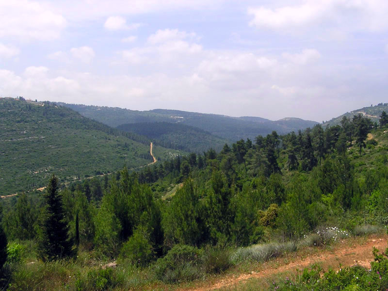
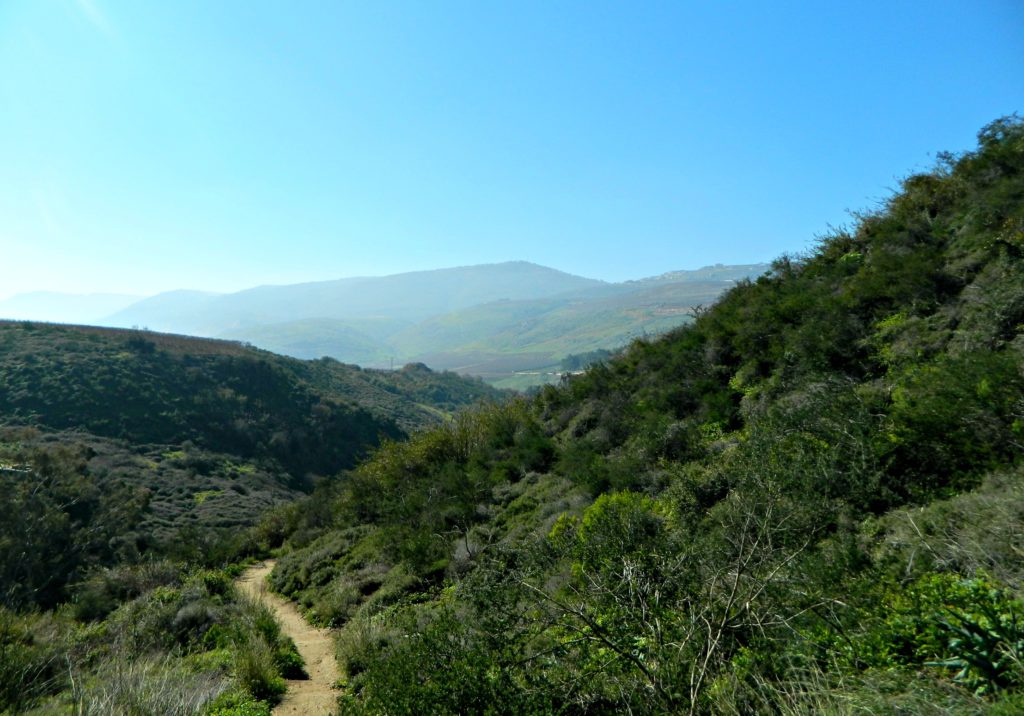
The trail starts in the Upper Galilee, on the eastern slopes of the Ramim Cliffs, where hikers pass through several walking routes and dirt roads while enjoying the beautiful springs along the way. From the observation points, they can observe the Hula Valley and the planted forests, while in autumn, the trail gets covered in flowers, especially crocus and cyclamens.
Kadesh Ili Stream and Yesha Fortress
Continuing the journey through the Upper Galilee, the hikers are now at the bottom of the canyon, walking on the path that stretches in the shadow of the treetop canopy. For a marvelous view of the ravine, they can climb the rock steps up the bank of Kadesh stream. The trail then continues to Yesha Fortress and the tomb of Nebi Yusha.
Meron Stream to Shema Ruins
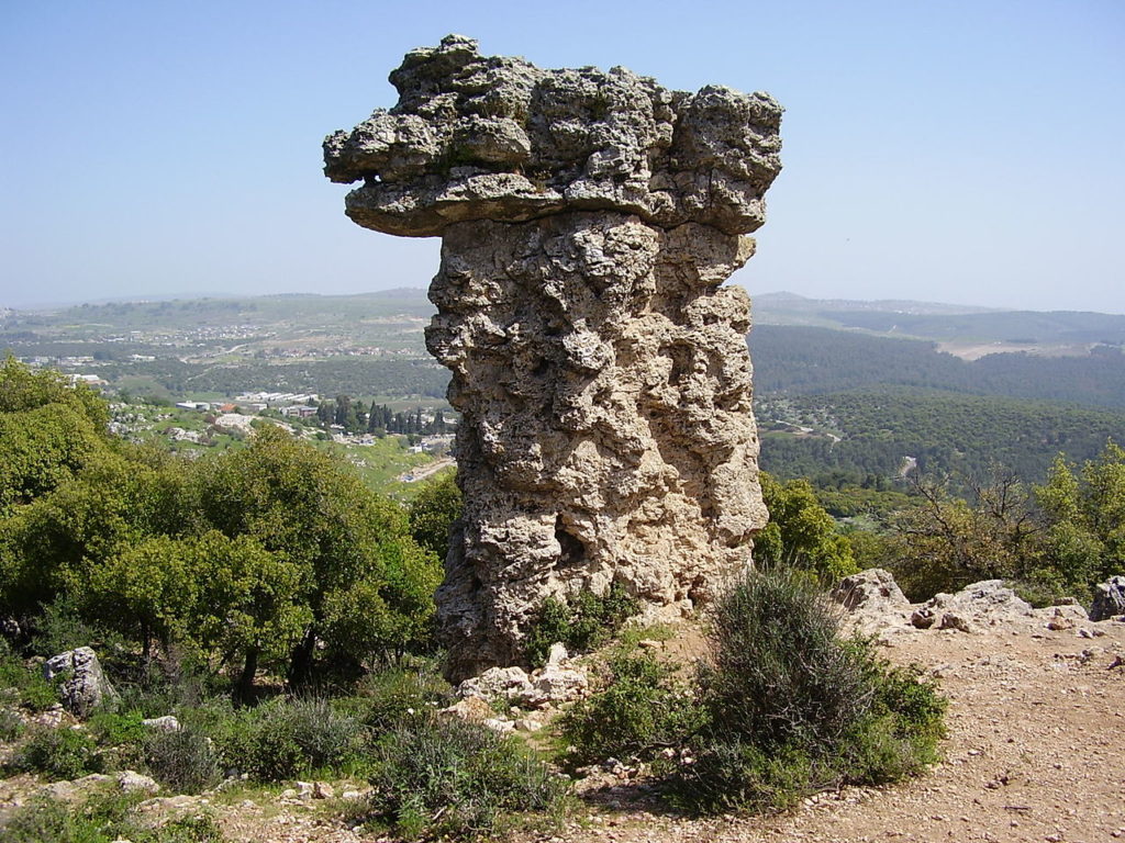
Onward hikers go to a wonderful circular trail on the eastern slopes of Mount Meron, passing through Meron Stream, Meron Ili Stream, Ein Zeved, Elijah’s Chair (a column resembling a chair) the Shema ruins, and back to the start. During spring and summer, hikers can see a variety of rich blossoms and raspberries that cover this section.
Mount Tabor
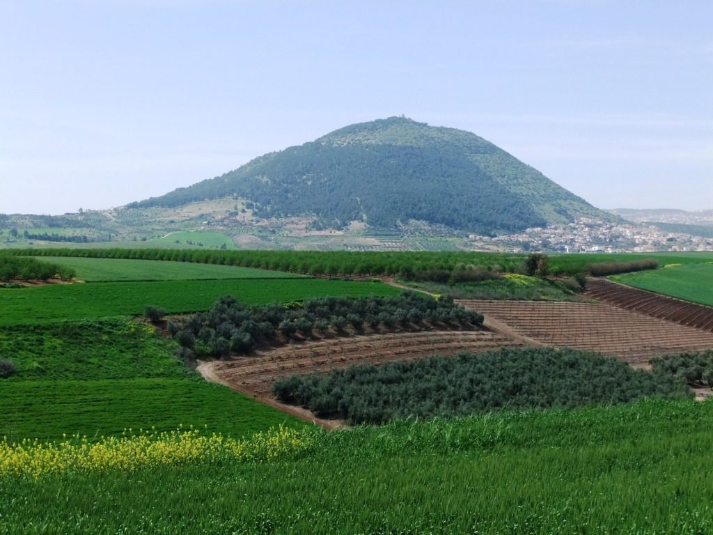
The hikers proceed to the Lower Galilee and Mount Tabor where flowers and impressive views welcome them. They climb up the mountain and visit some fascinating sites, such as the monasteries, the remains of ancient walls, towers, etc.
Tzippori stream
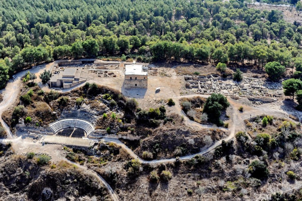
Once the hikers enter the Tzippori stream area, it’s time to relax. This section is filled with gall oaks, birch trees, and various winter and spring flowers. There are lovely streams to enjoy along the way, and sites to visit, such as improvised water pumps, The Monks Mill castle, and the remnants of a gristmill at the Alil ruins.
Nakhash Stream
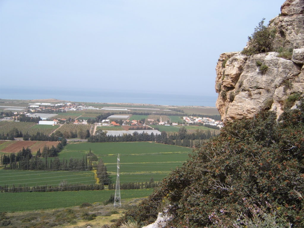
The hikers enter the magnificent Carmel, and walk by the Nakhash Stream and down the ravine, to take in the impressive view of the Northern Coastal Plain and the Galilee. They can also see the Arbutus Curve (delightful karst) and the weaponry hiding place in Yagur. Near Yagur, this section ends and the trail extends through the Sharon plain, Gush Dan, and Shfela.
Shayarot Range
Going up to the Judean Mountains, the hikers pass the Shayarot Range, observing the Coastal Plain, and through the Judean Mountains’ hundreds of miles of tracks and walking routes, while visiting the caves and enjoying the flowers. The trail passes through the Burma Road, then joins the Jerusalem Trail for a two-day journey to Jerusalem.
Yatir Ruins to Dragot Quarry
Hikers now reach the Yatir ruins and pass through the Yatir Forest, which is the largest forest planted by the Jewish National Fund. They proceed to the Har Amasa nature reserve to take in some phenomenal views and see the unique plants living there. Furthermore, they will see the remains of a Roman road.
Mamshit and Mamshit Stream
The hikers reach the magnificent Negev. This section passes through the ancient city of Mamshit, and the hikers get to see its alleys and churches, as well as the remnants of houses and stables. While there, they can also walk through the narrow canyon of Mamshit Stream, see its ancient dams and the remains of ancient agriculture.
Mitzpe Ramon and Makhtesh Ramon
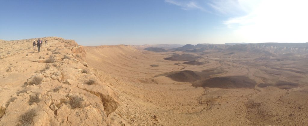
Hikers are now entering the section with some of the most famous sites in Israel. They visit the town of Mitzpe Ramon from which numerous tourists travel to the popular Makhtesh Ramon(Ramon Crater). While there, the hikers will see the beautiful ibex on the cliffs, roaming free.
Kisuy Stream and Ovda Valley
Next, the hikers pass the Kisuy stream and are met with Sinai-like dunes that decorate the area near Ovda Valley. On this section, they are able to enjoy the ancient remains, such as temples and ritual sites, as well as the views of the Arava desert.
Shkhoret Stream
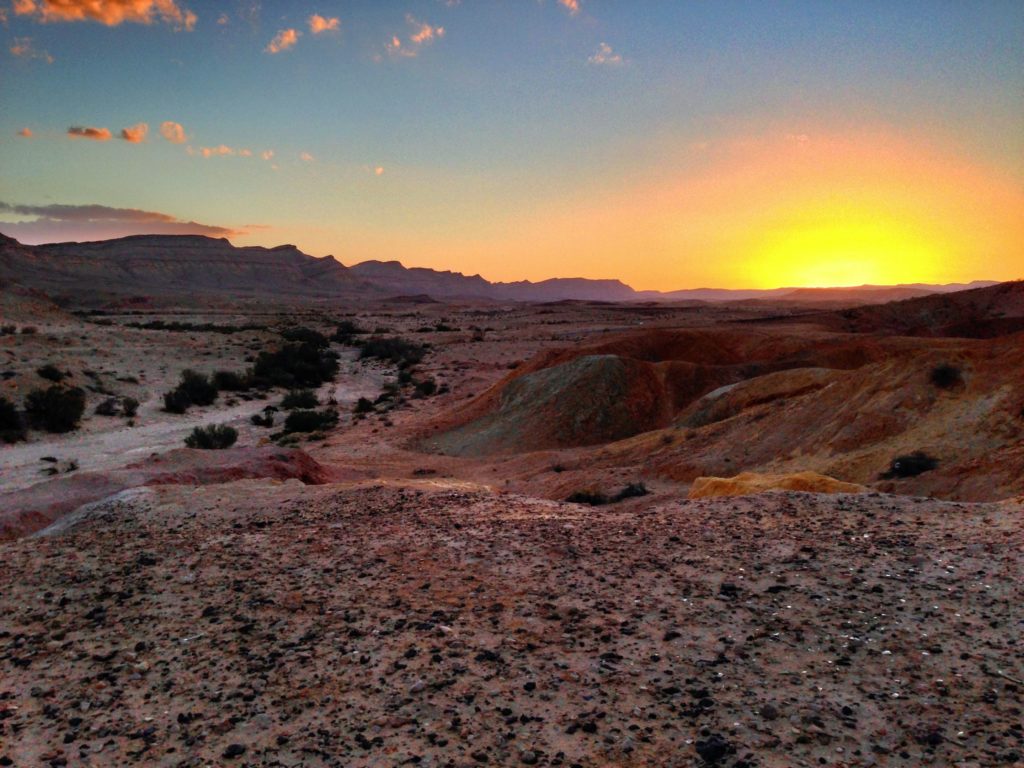
Lastly, the hikers reach the Eliat Mountains. Here, they admire the beauty of different shapes and colors of various rock formations, primarily composed of sandstone. They will certainly see many amazing desert plants, and perhaps even local animals.
Finally, after an approximately two-month hike, the healthier and happier hikers celebrate their hard work and their awesome achievement.
Originally posted at Gil Travel.

